Climate Change
India's Digital Lifeline: Fast Aid for Farmers
A single, integrated platform leveraging satellite and AI promises to deliver climate disaster aid to Indian farmers in days, not seasons, transforming rural resilience.
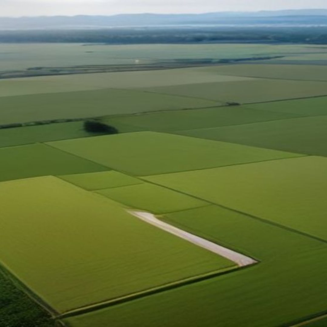
The scorching sun beat down on Suresh Jadhav's parched fields in Latur district, Maharashtra, even as distant memories of the sudden, unseasonal rains that had devastated his previous mustard crop lingered. For months after that deluge, Suresh, like countless other farmers across India, waited. He waited for government officials to survey the damage, for reports to be filed, for the bureaucratic machinery to grind slowly towards the promise of compensation. The aid, when it finally arrived, was often too little, too late – a mere band-aid on a gaping wound of debt and despair.
This agonizing wait is a familiar narrative, a recurring nightmare for the backbone of India’s economy. But what if this narrative could be fundamentally rewritten? What if the wait for disaster relief could be measured in days, not seasons? On this 6th of August, 2026, India stands on the precipice of a profound transformation in how it supports its farmers through the escalating climate crisis.
The vision is clear: a single, integrated digital platform, harnessing cutting-edge technology, to rapidly assess climate-induced agricultural losses and disburse aid directly into farmers' hands with unprecedented speed and precision. ## The Lingering Shadow of Delayed Relief India's agricultural sector, employing over half the nation's workforce, is acutely vulnerable to climate variability. Floods, droughts, heatwaves, and unseasonal rains are becoming more frequent and intense, obliterating livelihoods overnight. While schemes like the Pradhan Mantri Fasal Bima Yojana (PMFBY) aim to provide insurance coverage, their implementation has often been plagued by challenges.
These include delayed crop cutting experiments (CCEs) for loss assessment, disputes over damage severity, and the sheer logistical nightmare of surveying vast agricultural lands manually. "The current system, despite its intentions, often fails to meet the immediate needs of a farmer who has lost everything," explains Dr. Meera Sharma, an agricultural policy expert with the Delhi-based Centre for Agrarian Studies. "The gap between the disaster striking and compensation reaching the farmer can stretch for six months or even a year.
During this crucial period, farmers are forced into distress sales, debt, and sometimes, tragic outcomes. This isn't just an economic issue; it's a humanitarian crisis unfolding in slow motion. " This delay erodes trust, undermines the effectiveness of welfare programs, and critically, prevents farmers from making timely investments in their next cropping cycle, perpetuating a cycle of poverty and vulnerability. ## From Satellite to Soil: The Technological Leap The proposed solution isn't just an incremental improvement; it's a paradigm shift.
Imagine a system where a catastrophic event – be it a flash flood in Assam or a prolonged drought in Rajasthan – is detected and quantified almost instantaneously. This is achievable through the strategic integration of several advanced technologies: * **Satellite Imagery and Remote Sensing:** High-resolution satellite data, combined with hyperspectral imaging, can accurately map affected areas, assess crop health before and after a disaster, and even estimate yield losses. India already has a robust space program, making this capability readily available. * **Artificial Intelligence and Machine Learning (AI/ML):** AI algorithms can process vast amounts of satellite data, weather patterns from the India Meteorological Department (IMD), soil moisture readings from IoT sensors, and historical yield data.
This allows for automated, precise damage assessment, identifying specific fields and crops impacted. * **Drone Technology:** For ground-truthing and micro-level assessment in localized disaster zones, drones equipped with multispectral cameras can provide highly detailed imagery, complementing satellite data where cloud cover or specific terrain poses challenges. * **Geographic Information Systems (GIS):** GIS platforms integrate all this diverse data, creating interactive maps that visually represent disaster impact, farmer landholdings (linked via Aadhaar and land records), and potential aid distribution routes. * **Blockchain for Transparency:** Implementing blockchain technology could create an immutable, transparent ledger of claims, assessments, and disbursements, drastically reducing fraud and increasing accountability.
"The beauty of this integrated platform is its ability to move beyond human subjectivity and logistical bottlenecks," says Rajesh Kumar, CTO of AgriSense India, a startup developing AI solutions for agriculture. "A sudden waterlogging event observed by a satellite can trigger an immediate alert. AI then analyzes the extent of damage to specific crop types in identified plots, cross-referencing with farmer registration data. This data can then be used to generate a verified claim and initiate a direct benefit transfer, all within days.
" ## Real-Time Resilience: The Benefits of Rapid Aid The implications of such a system are far-reaching, transforming not just disaster relief but the entire ecosystem of farmer welfare: 1. **Swift Financial Aid:** The most immediate and critical benefit is the rapid disbursement of funds. Money reaching farmers within days of a disaster can prevent distress sales, cover immediate household expenses, and provide capital for replanting or alternative livelihoods. 2.
**Enhanced Accuracy and Transparency:** Automated assessment minimizes human error and corruption. Farmers receive aid proportionate to their actual losses, fostering greater trust in government schemes. The transparency offered by blockchain and auditable digital trails ensures that every rupee reaches its intended beneficiary. 3.
**Proactive Disaster Preparedness:** With real-time data on weather anomalies and early warning systems integrated into the platform, authorities can issue highly localized advisories, allowing farmers to take preventive measures or prepare for contingencies. 4. **Data-Driven Policy Making:** The aggregated data from such a platform offers invaluable insights into climate vulnerability hotspots, specific crop resilience patterns, and the effectiveness of different relief interventions. This informs better policy formulation and targeted resource allocation by bodies like the National Disaster Management Authority (NDMA).
5. **Reduced Bureaucracy and Operational Costs:** Digitizing the assessment and disbursement process significantly cuts down on the manpower, time, and administrative costs associated with manual surveys and paper-based claims. 6. **Empowering Smallholders:** Often the most marginalized, small and marginal farmers stand to benefit immensely from a system that is accessible, transparent, and swift, leveling the playing field in accessing critical support.
## The Road Ahead: Challenges and Collaboration While the technological promise is immense, establishing such a nationwide platform is not without its challenges. It requires: * **Robust Digital Infrastructure:** Ensuring internet connectivity and digital literacy in remote rural areas is paramount. The Digital India initiative provides a strong foundation, but last-mile connectivity remains a hurdle. * **Data Integration and Interoperability:** Seamless integration of data from various government departments (land records, IMD, agricultural census) and private agri-tech players is crucial.
Standardized data formats and secure APIs will be essential. * **Legal and Regulatory Frameworks:** New policies and amendments might be needed to formalize digital assessment methods as legally valid for aid disbursement. * **Farmer Adoption and Trust:** Educating farmers about the new system, building their trust in digital processes, and ensuring easy access points (e. g.
, common service centers, farmer producer organizations) will be critical for widespread adoption. * **Cybersecurity:** Protecting sensitive farmer data and financial transactions from cyber threats must be a top priority. Addressing these challenges will require a concerted effort from government agencies at national and state levels, technology providers, agricultural universities, and farmer organizations. Public-private partnerships will be key to developing, deploying, and maintaining such a complex yet vital system.
## A Future Forged in Resilience The vision of a single platform-observed disaster replacing slow field surveys is not a distant dream; it is an achievable reality that can redefine climate resilience for India's farmers. For Suresh Jadhav in Latur, it means the difference between sinking deeper into debt after a crop failure and having the immediate financial support to rebuild, replant, and face the next season with renewed hope. As of August 2026, pilot projects in states like Telangana and Karnataka are already exploring components of this integrated approach, showing promising results in accelerating insurance payouts and disaster relief. The full-scale implementation of a pan-India 'National Agri-Resilience Platform' could well be the most significant step India takes this decade towards securing the future of its agriculture and ensuring the welfare of its farming communities against the increasingly unpredictable wrath of a changing climate.
It’s a promise of dignity, stability, and a genuinely resilient future, delivered from the sky, directly to the soil, in real time.